Pahalgam, the Valley of Shepherds, at 2,130 metres
A working guide to Pahalgam — live weather, the meadows and valleys worth the drive, honest hotel picks, taxi fares from Srinagar, and a packing list for whichever season you land in.
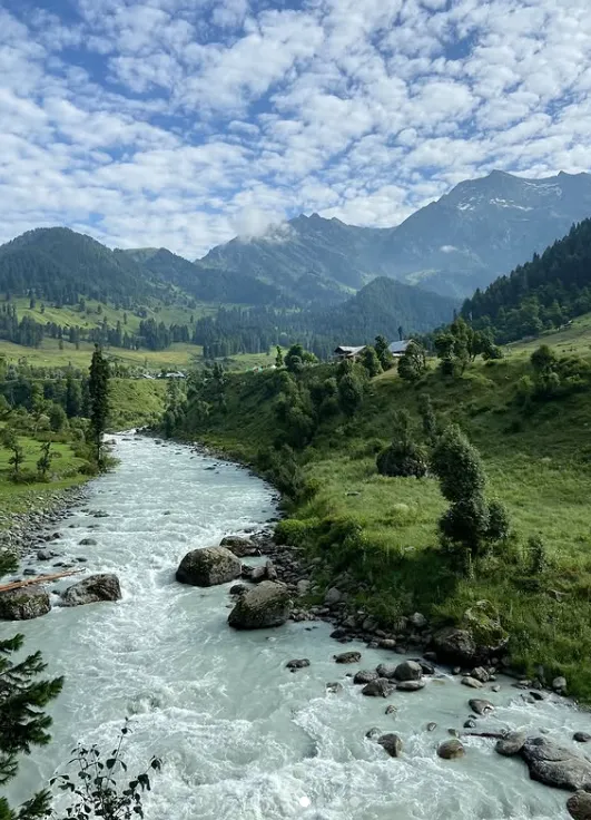
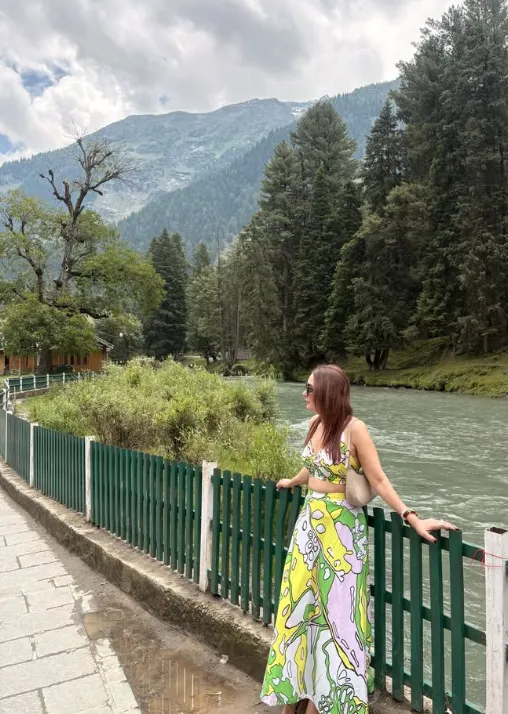
Meadows, valleys and the river that runs through all of it
Most of Pahalgam’s sightseeing sits within a 15 km radius, split across two roads — one following the Lidder toward Chandanwari, the other climbing to Aru. Locals hire out shared cabs at fixed points for each route.
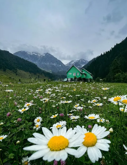
Betaab Valley
A pine-lined stretch along the Lidder River, named after the 1983 Bollywood film shot here. Wide meadows, easy walking, popular with families and photographers.
7 km from Pahalgam · entry ticketedAru Valley
A quieter, higher meadow ringed by conifer forest, and the trailhead for treks toward Kolahoi Glacier and Lidderwat. Fewer crowds than Betaab, better for an overnight stay.
12 km from PahalgamChandanwari
The road-end and the traditional starting point of the Amarnath Yatra. A glacier bridge (Zero Point) sits nearby, and it’s the base for the trek onward to Sheshnag.
16 km from PahalgamBaisaran
A forested plateau reached on foot or pony from Pahalgam town, often called “mini Switzerland” for its open grassland ringed by pine — a short, rewarding half-day trip.
5 km · pony or 2 hr walkPahalgam Golf Course
An 18-hole course along the Lidder Valley floor, also called the Ladder Valley course, with a natural stream running through the fairways. Open May–October.
2,400m altitudeKalari Cheese Country
Pahalgam’s belt is known for kalari, a stretchy, mozzarella-like cheese made by nomadic herding communities — worth seeking out at local dhabas on the Aru road.
Try it fried with a local flatbreadBeyond the sightseeing loop
Trekking in Pahalgam
Routes range from a half-day walk to Baisaran to multi-day treks via Aru to Lidderwat and Kolahoi Glacier, or the classic Amarnath route from Chandanwari. Hire a registered local guide for anything past Aru.
Angling on the Lidder
The Lidder River is stocked with trout, and permits are available locally for a few marked stretches — a quiet, low-effort way to spend an afternoon by the water.
Pony rides
Fixed-rate pony routes run from the town centre to Baisaran and along the Aru and Betaab roads — agree the fare with the pony union counter, not the handler directly.
Winter sports
A two-day snow festival runs most winters with skiing and snow-sledging demonstrations; several higher meadows and the Aru/Chandanwari roads can close after heavy snowfall.
Wazwan and Kashmiri food
Look for a multi-course Wazwan spread (rogan josh, gushtaba, yakhni) at established restaurants in town, and end the meal with noon chai or kahwa.
Where people stay, by category
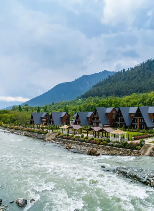
Pahalgam’s hotel belt runs along the main road and the riverside toward Betaab — the closer to the river, the higher the tariff. This list is a starting point for your own search, not a booking service.
Srinagar to Pahalgam taxi fare estimator
Shared sumos leave from Srinagar’s designated stands; private taxis are the more comfortable option for the ~2.5–3 hour drive. Use this as a rough planning estimate, not a quote.
What to pack for Pahalgam
Evenings stay cool even in peak summer, and nights below freezing are normal from October through March. Tick off what you’ve packed.